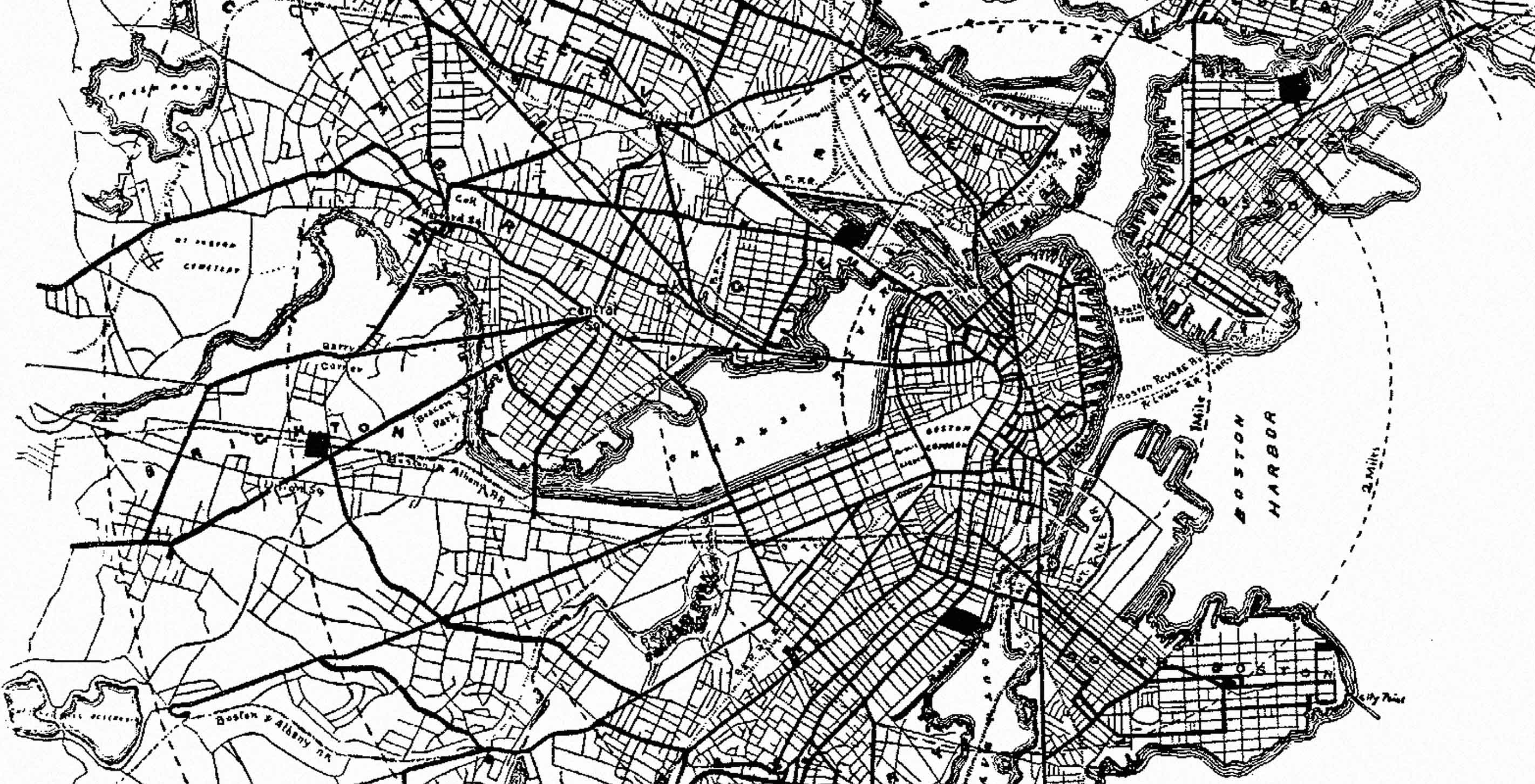
I visited Amsterdam in the winter of 2010, and arrived during a blizzard. As you may know, the city has a progressive approach to transportation. The center of the Amsterdam is car free, and the city hosts more bicycles than permanent residents. The above-ground tram system services the metro area. I hopped on the tram and began navigating “towards” the hostel. The snow was heavy, and the fact that we were above ground was not of any help. I began thinking how the awkwardly large map I was given could be improved, first by finding the closest recycling bin. For the remainder of the trip, I was much more successful navigating by verbal directions, and referred back to the map only for the pronunciation of station names such as "Van Kinsbergenstraat" and "Haarlemmermeerstation."
That spring I designed a map of the Amsterdam tram. It was my first attempt at abstracting geography. I used tracing paper, and retraced the lines over and over to create a structure that I later scanned into Illustrator. The process left me with a couple thoughts. First, when do I know I have reached a level of abstraction that no longer relates enough to actual geography? Secondly, there is no possible way tracing paper is the future of metro cartography.
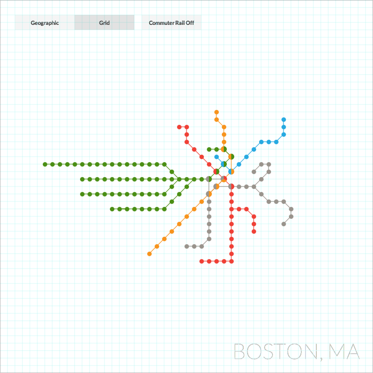
About a year later, after becoming more familiar with Processing, I began exploring the balance between geography and readability. I needed longitude and latitude data, so I went to Alex, our own head of GIS mapping. She used an open-source program called Quantum GIS to compile coordinates of the MBTA and commuter train stations and railways. Mark and I worked on the sketch using the latest version of Processing. Later we ported the project to JavaScript so that I could share it with you.
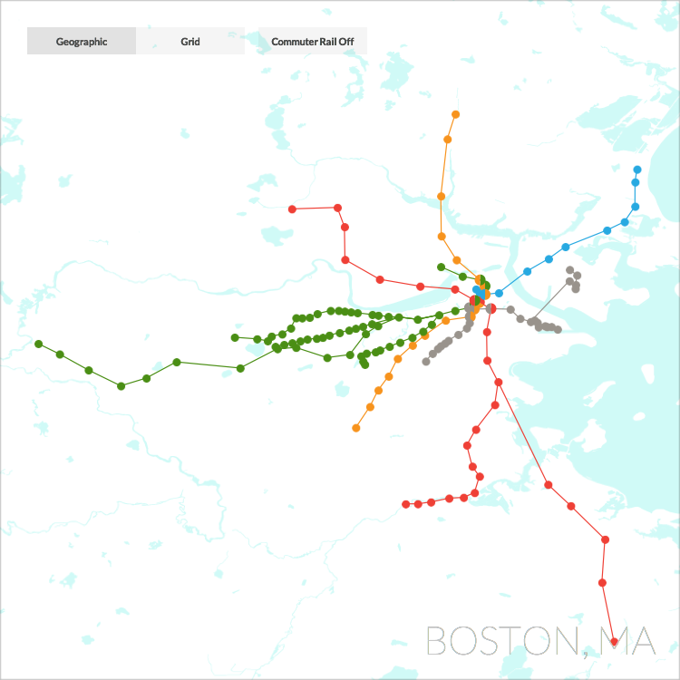
Although the tool is interactive, I should note that I had a static map in mind for the end result (i.e. a single image that could be used to navigate the entire city). A static map has its constraints because it tries to be everything to everyone. Metro maps are often designed as still images, while mobile apps curate the information down to what one really needs to know. It is my personal belief that a static map will continue to stand at the center of a more complex system of navigation, just as a logo is the heart of an identity system. My hope is that this exploration serves as a process tool, teaching example, or even aid in a conversation about New York City's MTA map history.
View this page on a larger screen for the interactive version of the piece above.
If you see any errors it would be great to hear about them (drop us an email: inquire at fathom.info). Station coordinates (last updated 2/2/12) and hydrography (last updated 3/15/13) are from MassGIS. Geographic data for surrounding states is from the U.S. Census Bureau, Geography Division, and were last updated 1/31/2012.
We’d love to hear what you’re working on, what you’re curious about, and what messy data problems we can help you solve. Drop us a line at hello@fathom.info, or you can subscribe to our newsletter for updates.