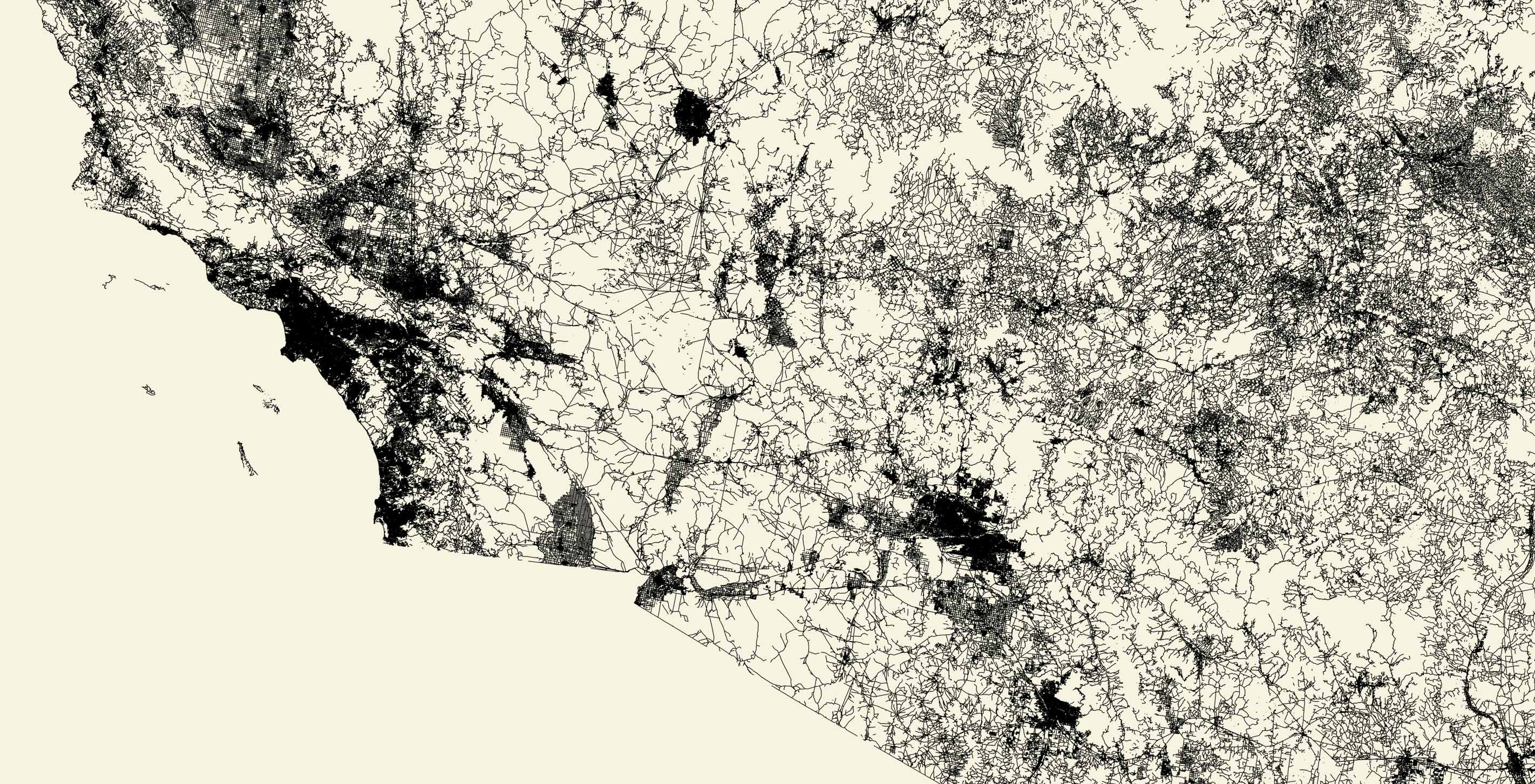
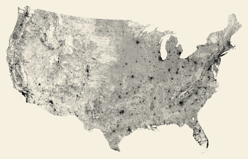
The result is a map made of 240 million segments of road. It's very difficult to say exactly how many individual streets are involved — since a winding road might consist of dozens or even hundreds of segments — but I'm sure there's someone deep inside the Census Bureau who knows the exact number.
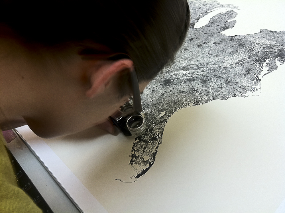
Once we had the high-resolution image, Katy prepared it for offset printing, and later joined James on the press check to make sure the density of the print was just right. We're really excited about the result.
As part of our initial foray into selling things online, we're donating half the proceeds to Kiva. This seemed like an appropriate project to use for charitable giving, and we hope to use this model for future prints or other items, depending on how it all works out.
We’d love to hear what you’re working on, what you’re curious about, and what messy data problems we can help you solve. Drop us a line at hello@fathom.info, or you can subscribe to our newsletter for updates.